

There is a particular feeling you get at Malin Head that nowhere else in Ireland quite matches. You run out of road, then you run out of land, and then there is nothing between you and the Arctic. It is the most northerly point on the island, it is the last stop on the Inishowen 100, and on the right evening it is one of the best hours you will spend in Donegal.
Working out where this sits against everything else on the peninsula? It is a pin on my map of Inishowen, alongside every other place worth stopping at on the Inishowen 100.
Some links in this guide are affiliate links. If you book through one I may earn a small commission, at no extra cost to you. As an Amazon Associate I earn from qualifying purchases. I only link to things I would use myself.
Here is what is actually up there, and how to do it properly.
Coming from the other side of the border? There is no checkpoint, but the money, your phone and the speed limits all change. Read the guide to crossing between Ireland and Northern Ireland.
The story: a tower, a radio message and a wartime code
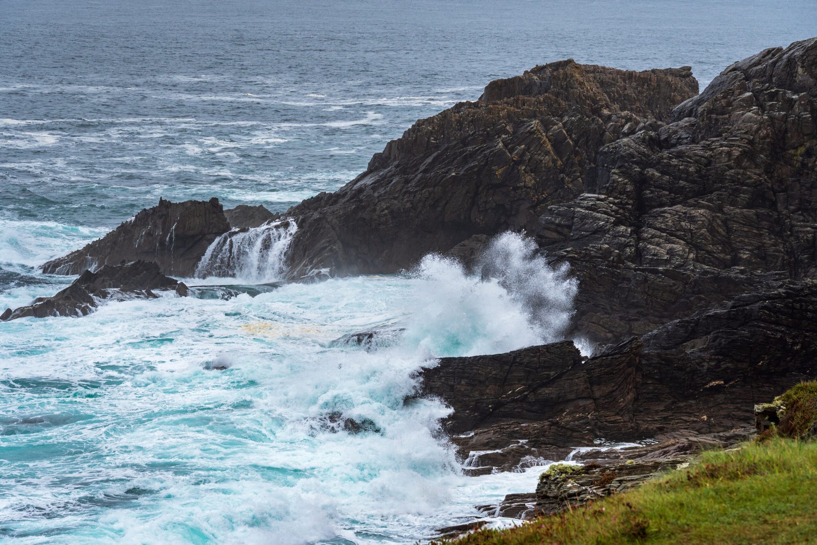
The squat stone tower on the headland is the thing everyone photographs, and almost everyone misdates it. It is not a castle and it is not ancient. It went up around 1805, one of a chain of coastal signal towers built along the Irish seaboard between 1804 and 1806 after the French invasion attempts of the 1790s. Three storeys, square, with a heavy batter to the base, it was a lookout for an invasion that never came.
Its interesting life came afterwards. Around 1890 Lloyd’s of London took the tower over as a signal station, using semaphore to log Atlantic shipping as it made landfall and pass the news south. That is where the local name, Lloyd’s Tower, comes from, roughly ninety years after it was built. Then in 1901 Guglielmo Marconi set up a wireless station beside it, and in 1902 a message went out from Malin Head to the SS Lake Ontario. It is usually described as the first commercial radio transmission from the site.
The letters on the ground are younger again. That concrete and stone EIRE 80 belongs to the Second World War. From 1942 Ireland laid out around 85 of these markers along the coast, each one beside a Lookout Post and numbered to match it. Malin Head was Lookout Post 80. The official purpose was to tell pilots they were crossing into neutral airspace. The practical effect was to help Allied aircrews fix their position and avoid straying inland, where they would have been interned. The little concrete huts near the tower belonged to the Coast Watching Service. The letters were restored in recent years and are best seen from the higher ground behind them.
And then there is the modern chapter. In May 2016 Lucasfilm filmed here for Star Wars: The Last Jedi, building a set near Hell’s Hole. Long-lens photographs from the time showed what looked unmistakably like a section of the Millennium Falcon propped against the cliff.
One thing worth saying plainly, because it is repeated everywhere: Banba’s Crown, the name for the headland itself, is antiquarian naming rather than documented history. Banba was one of the three goddesses of the Tuatha De Danann and the name is a lovely piece of nineteenth-century romance. Enjoy it as folklore, not as fact.
Flying from the US?
Most Americans pay too much to get to Ireland.
I send one email a week with the best fares from US airports into Dublin, Shannon and Belfast, plus what to actually do when you land. $14.99 for the year, refunded if it does not pay for itself.
The walk out to the cliffs
From the car park it is a short, steepish climb on a made path to the tower. Most people stop there, and if the weather is bad that is a reasonable decision. But the walk beyond it is the good bit.
Carry on past the tower and you are on a rough trail of roughly 2.3 to 2.5 kilometres out and back, forty minutes to an hour, taking you along the cliffs past the EIRE 80 sign toward Hell’s Hole, a deep chasm where the sea drives in and booms, and the natural arch known as the Devil’s Bridge. The surface goes from paved to grass to bog and loose track. After rain it is properly wet.
There are no fences and no barriers anywhere along the cliff edge. That is not a complaint, it is just the fact of the place, and it is why you keep children and dogs close.
Getting to Malin Head
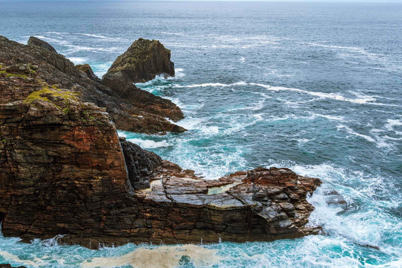
- From Derry: about 50 km, roughly 50 minutes, via Muff, Quigley’s Point and Carndonagh on the R238 and R240, then the R242 through Malin village.
- From Letterkenny: about 80 km, around an hour and a quarter, via Bridgend, Muff and Carndonagh.
- From Buncrana: about 45 to 50 km, allow just under an hour on the R238 to Carndonagh, then the R242.
Malin Head is a dead end at the top of the country and there is no public transport worth the name. You will need a car. Compare car hire in Ireland here.
The roads are perfectly good as far as Malin village. After that you are on a narrow rural road with passing places, and the final approach to Banba’s Crown is single track and a dead end. There is no through road, so you come back the way you went in. In July and August the pinch point is exactly what you would expect: someone reversing on a blind bend. Take it slowly and it is fine.
If you are coming from Derry, remember you are crossing the border. Your phone will switch network and the speed limits change from miles per hour to kilometres per hour.
Parking, toilets and practicalities
- Admission: free. There is no gate, no ticket and no opening time. It is open country.
- Parking: free car park at Banba’s Crown, right below the tower. It is small and it fills on summer weekends, with roadside parking as the overflow. Vans manage, but it is tight.
- Toilets: public toilets at the car park.
- Food: Caffe Banba, a coffee van, usually operates through the warmer months. Takeaway only, no seating. For a proper meal, Farren’s Bar (which bills itself as Ireland’s most northerly) and the Seaview Tavern are the local options.
- Accessibility: the paved section near the car park and the main viewpoint are manageable for wheelchairs. The cliff trail is not.
- Inside the tower: blocked up and derelict. Treat it as an exterior sight.
What I would tell you before you go
Take the drive up slowly. It is narrow, there are people walking on it and a lot of dogs about, and there is nowhere for anybody to go.
I got a space right at the top, which felt like luck at the time, but there were spaces scattered the whole way down and it never felt overly busy. There always seemed to be somewhere to put the car.
Wrap up far more than you think you need to. This is the one people get wrong. We had driven up from somewhere else in Donegal where there was no wind at all that day, and the second we got out at Malin Head it was blowing hard. It is almost always windier up there than wherever you have just come from.
And wear proper boots rather than trainers. It had rained the night before we went and the cliff path was mucky the whole way along, so a dry day is no promise of dry ground. Wellies if you have them.
How long to allow, and when to go
An hour or two covers a normal visit. Give it three or four if you are walking the full cliff circuit or you have a camera with you.
For light, sunrise and sunset are the picks, and because you are this far north the summer evenings run very long indeed. In winter and spring this is one of the better places in Ireland to catch the aurora, on a clear night with nothing but ocean to the north and almost no light pollution behind you.
Whenever you go, the wind is the thing to plan for. It can be genuinely severe on a sunny day. Windproof layers and proper footwear, and do not walk the cliff path after dark.
Frequently asked questions
Is Malin Head free to visit?
Yes. There is no gate, no ticket and no opening time, and the car park at Banba’s Crown is free as well, with public toilets. It is open country.
How long do you need at Malin Head?
An hour or two covers a normal visit. Give it three or four if you are walking the full cliff circuit or you have a camera with you.
How far is Malin Head from Derry?
About 50km, and roughly 50 minutes, going through Muff, Quigley’s Point and Carndonagh on the R238 and R240, then the R242 through Malin village. Take the last stretch slowly, because the road is narrow and there are walkers and dogs on it.
Is the tower at Malin Head a castle?
No. It is a coastal signal tower built around 1805, one of a chain put up after the French invasion attempts of the 1790s. Lloyd’s of London took it over as a signal station around 1890, which is where the name Lloyd’s Tower comes from, and Marconi set up a wireless station beside it in 1901. It is blocked up inside, so treat it as an exterior sight.
Can you walk to Hell’s Hole and the Devil’s Bridge?
Yes. Carry on past the tower and it is roughly 2.3 to 2.5km out and back, forty minutes to an hour. The surface goes from paved to grass to bog and loose track, and it is properly wet after rain. There are no fences anywhere along the cliff edge, so keep children and dogs close, and do not walk it after dark.
Is there anywhere to eat at Malin Head?
Caffe Banba, a coffee van, usually operates through the warmer months, takeaway only with no seating. For a proper meal, Farren’s Bar, which bills itself as Ireland’s most northerly, and the Seaview Tavern are the local options.
Nearby
- Five Finger Strand, about twenty minutes back down the road at Lag, and the natural pairing with a Malin Head trip.
- Kinnagoe Bay, across on the eastern shore, where the Spanish Armada came ashore in 1588.
- Things to Do in Inishowen, the full peninsula guide and the Inishowen 100 route.
- Things to Do in Donegal, if you are building a longer trip around it.
Malin Head is the sort of place that rewards patience. Give it an evening rather than a half hour, and let the weather do whatever it is going to do.
Inishowen sits right on the border, and most people who come this far pair it with the north. Here is the full guide to things to do in Northern Ireland.
Getting here and where to stay
Malin Head is the far end of the peninsula and the far end of Ireland, about an hour and twenty from Derry. Nobody does it as a quick stop. There is no public transport worth the name on Inishowen, so a car is not a convenience here, it is the trip. If you are flying into Derry, Belfast or Dublin, compare hire prices before you land, because the airport desks are the dearest way to do it.
Derry is the practical base for most of the peninsula. It has the hotels, it has somewhere to eat after dark, and almost everywhere on Inishowen is inside an hour and a half of it. If you would rather be on the peninsula itself, Buncrana and Moville both have places to stay, but book early in summer because there are not many of them.
Every stop on the Inishowen 100
This guide is part of a series covering the peninsula stop by stop. Here is the rest of it:
- Five Finger Strand, the dunes and the sea stacks.
- Carrickabraghy Castle, the O’Doherty ruin on the rock.
- Doagh Famine Village, famine-era life, told on the spot.
- Kinnagoe Bay, where the Spanish Armada came ashore.
- Mamore Gap, the steepest road on the peninsula.
- Glenevin Waterfall, the easy walk near Clonmany.
- Grianán of Aileach, the ring fort above two loughs.
- Fort Dunree, the fort that guarded Lough Swilly.
Pin this for later
Planning a trip? Save this to Pinterest so you can find it again.

Written by
Diana Greenlee
I live in County Down and write Tales of Irish Travel. After years living abroad I came home during Covid and started properly exploring the island. I write about the history and the story behind a place, not just the place. More about me.